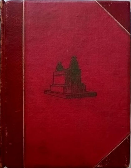
Das Reich: 100 Karten aus der Wochenzeitung (1943) 100 KARTEN AUS DER WOCHENZEITUNG DAS REICH
AN HISTORICAL WAR MAP BOOK PUBLISHED FOR THE READERS OF JOSEPH GOEBBELS' DAS REICH NEWSPAPER IN BERLIN IN 1943. Das Reich was the name of a weekly newspaper founded by Nazi Propaganda Minister Dr. Joseph Goebbels in May 1940 which contained news reports, essays on various subjects, book reviews, an editorial written by Dr. Goebbels as well as a map of an area that was specifically in the news. It was published by Deutscher Verlag in Berlin and by 1944 the circulation was over 1.4 million. 100 Karten aus der Wochenzeitung Das Reich, a special edition map book that Das Reich produced in the summer/autumn of 1943 as a result of hundreds of letters from readers at the front and at home. The result was this 10 x 13-5/8 inch 80-page softcover publication with maps of current military, political and economic importance to explain and highlight the historic developments and strategic connections of the area to the war then raging around the world. Readers considered the single maps produced by Professor Paul Fischer and published weekly in Das Reich, to be an essential, indispensable Kriegskamerad or War Comrade which they needed to be able to understand the continually changing situation of the war. These maps feature cities, islands and lands all over the world that many people had never heard of, which suddenly became front-page news because of the "Axis Power soldiers" fighting there. According to Günther Schwill who wrote the foreword to the publication in the summer of 1943, the importance of what was happening on land and sea all over the globe, and the battle for the destiny of Europe and a better future were all more easily put in context with the maps in 100 Karten aus der Wochenzeitung Das Reich. The maps show England, the United States, Ireland, British colonies in Africa, the influence of the American dollar in South America and Africa, the Battle for Oil in the Middle East, the war zone in south-eastern Europe (Greece, Crete, Yugoslavia, Bulgaria) and the Indian Ocean.

There are many detailed maps of the Soviet Union under the title "Moscow against Europe" and "Europe's Battle against Moscow", as well as Japan's entry in the war in the Pacific and the many battles that followed.

The dates under the maps indicate the issue of Das Reich they were published originally. For example, there is a map showing the locations of German U-Boote or submarines in the Atlantic Ocean and in front of the American coast that is dated 24 January 1942.
- In Fair condition


